- Farm Management >
- Precision agriculture >
- Mapping agricultural drone
Mapping agricultural drones
{{product.productLabel}} {{product.model}}
{{#if product.featureValues}}{{product.productPrice.formattedPrice}} {{#if product.productPrice.priceType === "PRICE_RANGE" }} - {{product.productPrice.formattedPriceMax}} {{/if}}
{{#each product.specData:i}}
{{name}}: {{value}}
{{#i!=(product.specData.length-1)}}
{{/end}}
{{/each}}
{{{product.idpText}}}

RGB and Multispectral Imaging System (compatible with Skippy Scout): DJI Mavic 3 Multispectral – also known as the M3M – uses a two-in-one camera system to view and collect a wide array of information that users can turn into results ...

... supports multiple operations from surveying, mapping, to spraying and spreading, offering superior performance and versatility at best value. Mapping, spraying and spreading, all in one The AGRAS ...

The AVES Series is an exciting new addition to The Drone Bird Company flock. This drone bird is realistic, covert, light-weight, and unobtrusive. Clients can choose from a range of models that best suit ...
The drone bird.com/

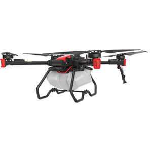
XAG P100 Agricultural Drone is crafted in structure that can separate the flying platform and task systems, integrating efficient spreading and precision spraying modules. This powerful and reliable drone ...
XAG

A large coverage photogrammetric mapping system featuring RTK/PPK upgradeability for survey-grade accuracy on demand. The eBee Plus can map more square kilometres per flight, than any drone in its ...
senseFly

... requirements for drone operations at Germany's largest airport. The system includes a transponder as well as a lighting system for tracking and seamless integration into flight operations. Photo: Fraport AG Agronator® Heavy ...
Your suggestions for improvement:
the best suppliers
Subscribe to our newsletter
Receive updates on this section every two weeks.
Please refer to our Privacy Policy for details on how AgriExpo processes your personal data.
- Brand list
- Manufacturer account
- Buyer account
- Our services
- Newsletter subscription
- About VirtualExpo Group


Please specify:
Help us improve:
remaining