- Farm Management
- Precision agriculture
- Rotary wing agricultural drone
- Aermatica3D srl (AERMATICA3D)
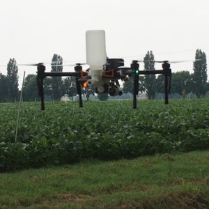
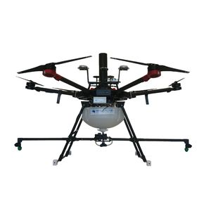
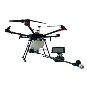
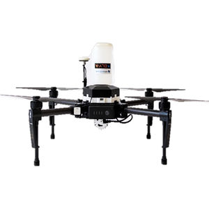
Rotary wing agricultural drone DJI PHANTOM 4 MULTISPECTRALoctorotor

Add to favorites
Compare this product
fo_shop_gate_exact_title
Characteristics
- Type
- rotary wing
- Number of rotors
- octorotor
Description
With the multispectral sensor of the Phantom 4 Multispectral series, it is possible to acquire data relating to crops and obtain georeferenced information on a specific agricultural plot, generating maps of vegetative vigor, able to direct agronomic and business decisions, thus reducing the costs for treatments for a more aware, effective and efficient agriculture.
VIDEO
Catalogs
No catalogs are available for this product.
See all of Aermatica3D srl (AERMATICA3D)‘s catalogsOther Aermatica3D srl (AERMATICA3D) products
Drone Solutions for Agriculture
*Prices are pre-tax. They exclude delivery charges and customs duties and do not include additional charges for installation or activation options. Prices are indicative only and may vary by country, with changes to the cost of raw materials and exchange rates.


