Exhibit with us
{{>currencyLabel}}
Back
{{>currenciesTemplate}}
English
Back
Français
Español
Italiano
Deutsch
中文
日本語
português
Русский
Your most recent searches
Delete
Frequent searches
Suggestions
Other sections
Search {0} in Catalogues
Search {0} in News & Trends
Brands containing {0}
{{>productsMenu}}
Products
Catalogs
RFQ
{{>trendsMenu}}
News & Trends
Products
>
Farmscan AG Pty. Ltd.
Website:
Farmscan AG Pty. Ltd.
Products
Products
Catalogs
News & Trends
Exhibitions
All Farmscan AG Pty. Ltd. products
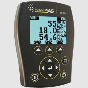
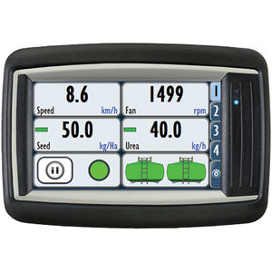
Jackal Controller
spraying control system
for fertilizer application
for seeding
smart
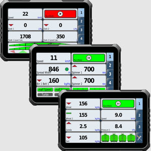
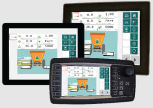
7000 Series
agriculture monitor
7000 PRO
portable
spraying control system
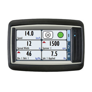
74v1
for fertilizer application
for dosing pumps
touch screen
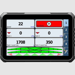
spraying control system
7300
GPS
variable-rate
touch screen
seeding control system
7500
GPS
variable-rate
touch screen
ISOBUS Solution
harvesting control system
ISOBUS
spraying
for fertilizer application
for seeding
Digital control system
Crop input control system
Spraying control system
Touch screen control system
Connected control system
Smart control system
Seeding control system
ISOBUS control system
GPS control system
Fertilizer application control system
Automatic control system
Harvesting control system
Variable-rate control system
Agriculture monitor
Compare
Remove all
Compare up to 10 products