- Farm Management
- Software
- Data display systems software
- Geometer International LLC

- Company
- Products
- Catalogs
- News & Trends
- Exhibitions
Management software DGMTSPBmonitoringdata managementdata display systems

Add to favorites
Compare this product
Characteristics
- Function
- management, monitoring, data management, data display systems
- Applications
- agricultural, precision agriculture
- Operating system
- Android
Description
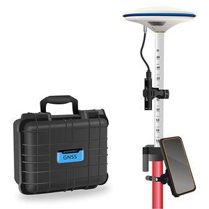
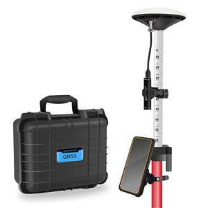
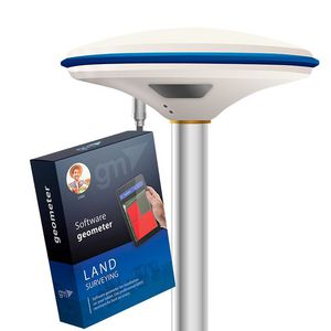
Kit of equipment: geometer mobile application for precise land area measurement for installation on a tablet or smartphone with a GM Spike receiver (SBAS). This is the optimal kit for measuring the area, distances, and marking waypoints. An external receiver with an antenna is used to improve the sensitivity and quality of the GPS/GNSS signal. You will be able to carry out the necessary work with the area, namely: to measure the area of fields of any shape, measure distances, create electronic maps, cut unproductive areas, and many other operations.
EQUIPMENT:
- Geometer SCOUT software;
- GM Spike receiver with built-in battery;
- Bag with strap for carrying and storage.
Geometer SCOUT software has specialized field measurement and positioning functions. You will be able to get your location more accurately, accurately measure area, length, get three-dimensional measurement, waypoints, save coordinates, enter your coordinates, digitize gardens and other objects, special markings on the ground, cutting plots (holes), embedding new objects. The program has an intuitive menu, so it does not require special user training.
FEATURES:
- Measurement of small areas
- Creating a field map
- Instant view on Google Maps
- Counting the number of rows when working with wide-cut equipment
- Connecting additional devices via Bluetooth
- Working with a soil density meter
- Dividing of fields
- Cutting plots inside (holes)
- Field markup
- Determination of area
- Determination of distances
- Synchronization with Agroprofile
Accuracy of area measurement: 0,5%
Accuracy of positioning: 70-100 cm
Operating system: Android version 9 or higher
VIDEO
Catalogs
No catalogs are available for this product.
See all of Geometer International LLC‘s catalogsOther Geometer International LLC products
GNSS measurement devices
Related Searches
- Farm software
- Data management software
- Farm mobile app
- Precision agriculture software
- Management mobile app
- Real-time mobile app
- Monitoring mobile app
- Android mobile app
- Data management mobile app
- Data display systems software
- Planning mobile app
- Mapping mobile app
- Data acquisition mobile app
- Android software
- Mobile app with integrated GPS
- Precision agriculture mobile app
- Navigation mobile app
*Prices are pre-tax. They exclude delivery charges and customs duties and do not include additional charges for installation or activation options. Prices are indicative only and may vary by country, with changes to the cost of raw materials and exchange rates.


