- Farm Management
- Precision agriculture
- Forestry machinery control system
- Hexagon Agriculture
Forestry machinery control system HxGN AgrOn Seedling MarkerISOBUSGPSRTK
Add to favorites
Compare this product
Characteristics
- Application
- for forestry machinery
- Network
- ISOBUS, GPS, RTK
Description
System that uses georeferencing to generate maps of seedlings and pits for forestry operation.
Allows the georeferencing of seedlings and pits through the external activation of sensors installed in the machine, generating maps for use in subsequent activities, such as irrigation and fertilisation. Allows the configuration of dimension and distance parameters of each machine in the displays for better precision of the georeferenced point.
Characteristics:
.Allows triggering of points through analogue or digital sensors
.Facilitates irrigation and fertilization on each seedling through geo-referencing markings
.Exclusive to forestry operations
.Includes the Remote Access add-on module
Benefits:
.Locates best pit location
.Assists in irrigation and fertilisation
.Reduce input waste
.Increases job accuracy
Georeferencing tree planting marking.
Can work with analog or digital sensors.
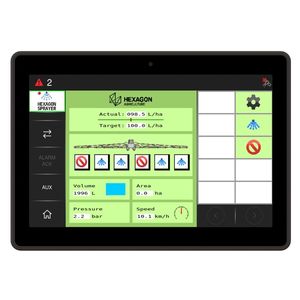
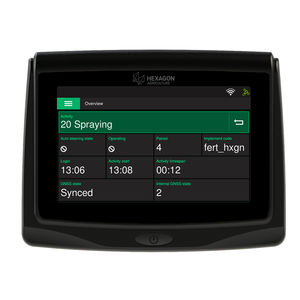
Compatible with Ti5, Ti7 and Ti10 displays.
Catalogs
No catalogs are available for this product.
See all of Hexagon Agriculture‘s catalogsRelated Searches
- Digital control unit
- Guidance system
- Crop input control system
- Spraying control system
- Real-time management system
- Touch screen control system
- Automated guidance system
- Wireless management system
- CAN-Bus ECU
- Remote management system
- Crop monitoring system
- GPS guidance system
- Seeding control system
- ISOBUS control unit
- Programmable ECU
- Tractor guidance system
- Agriculture machine guidance system
- GNSS guidance system
- GPS control system
- Monitoring system with alarm
*Prices are pre-tax. They exclude delivery charges and customs duties and do not include additional charges for installation or activation options. Prices are indicative only and may vary by country, with changes to the cost of raw materials and exchange rates.


