- Farm Management
- Software
- Mapping software
- MachineryGuide
Mapping software CLOUDagriculturalprecision agriculturevehicle fleet
Add to favorites
Compare this product
Characteristics
- Function
- mapping
- Applications
- agricultural, precision agriculture, vehicle fleet
- Deployment mode
- cloud
Description
Simple overview of work sessions
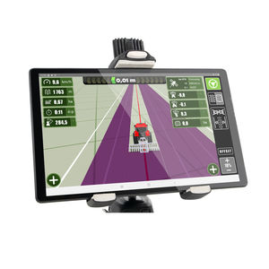
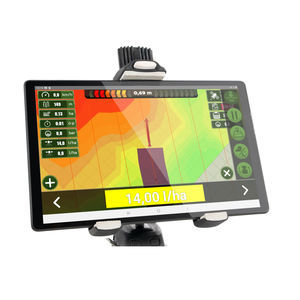
The MachineryGuide CLOUD service is an internet application, which helps farmers keep track of their fields, the work done on them and the tracking of their devices.
CLOUD Service
The MachineryGuide CLOUD is a browser based service, therefore no installation is needed. Its use is simple and flexible, it does not require computing skills. The CLOUD service can be synchronized with the other MachineryhGuide applications, thus all the saved work sessions, fields and routes can be handled within one service.
Main Functions:
-Handling of work sessions and fields
-Export and import of KML, KMZ and SHP
-Simultaneous support of multiple devices
After Login
All the saved fields of the farm can be seen after login. The earlier works can be seen upon clicking on the set field the work was done on.
Handling of Fields
For easier handling, all saved fields are accessible in a list. Specific fields, with their corresponding information, can be viewed upon selection from the list.
Handling of Work Sessions
All saved sessions are accessible from a list. The route of the agricultural machine and the data of the done work can be viewed upon selecting the given session.
Adding New Area
Adding new fields to the data base of the farm can be done in multiple ways, for example by the designation of the boundary on a map or by importing KML, KMZ and SHP files.
Catalogs
*Prices are pre-tax. They exclude delivery charges and customs duties and do not include additional charges for installation or activation options. Prices are indicative only and may vary by country, with changes to the cost of raw materials and exchange rates.


