- Farm Management
- Software
- Data management software
- s.c.s. survey cad system
Management software AgMapsdata managementmappingdata acquisition
Add to favorites
Compare this product
Characteristics
- Function
- management, data management, mapping, data acquisition
- Applications
- agricultural, precision agriculture
- Type
- real-time
- Operating system
- Windows
Description
AgMaps is the new agricultural area meter developed for Windows operating systems.
•Management and storage of your farmland
•Recording in manual mode or every 2.5, 10 seconds
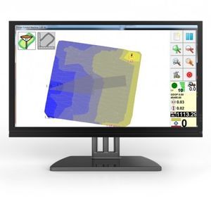
•The survey is displayed in real time on the screen of a tablet or a normal portable PC
•Functions to query distance between two points, query route, perimeter or area
•Possibility to eliminate the detected points or insert new known coordinate points
•Survey export in DXF format
Catalogs
No catalogs are available for this product.
See all of s.c.s. survey cad system‘s catalogs*Prices are pre-tax. They exclude delivery charges and customs duties and do not include additional charges for installation or activation options. Prices are indicative only and may vary by country, with changes to the cost of raw materials and exchange rates.


