- Farm Management
- Software
- Irrigation management software
- s.c.s. survey cad system
Mapping software PCaccountingirrigation managementagricultural
Add to favorites
Compare this product
Characteristics
- Function
- mapping, accounting, irrigation management
- Applications
- agricultural, irrigation
- Type
- real-time
Description
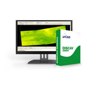
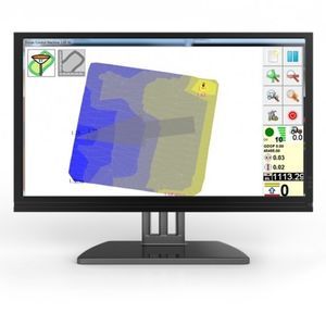
Agricad PC offers tools for mapping and design work in Agriculture.
It is developed in CAD environment and the main functions are:
•Mapping management
•Verification and control of borders
•Visualization and printing of the work carried out with Supertrack
•Design of vineyards and orchards
•Pivot irrigation design
•Management of slurry spreading operations
•New accounting functions
•Remote connection with tractors for real-time data exchange
Catalogs
DISCAV AGRICAD CATALOG
83 Pages
*Prices are pre-tax. They exclude delivery charges and customs duties and do not include additional charges for installation or activation options. Prices are indicative only and may vary by country, with changes to the cost of raw materials and exchange rates.


