- Farm Management
- Software
- Irrigation management software
- s.c.s. survey cad system
Mapping software disCAV Greenirrigation managementagriculturalirrigation
Add to favorites
Compare this product
fo_shop_gate_exact_title
Characteristics
- Function
- mapping, irrigation management
- Applications
- agricultural, irrigation
- Other characteristics
- with integrated GPS
Description
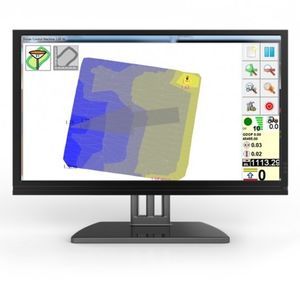
•Discav Green is a software dedicated to earth movement in agriculture for reclamation, irrigation and drainage.
•It allows the import of the grid survey or the import directly from the GPS system
•Calculate the average share of the new project plan and the optimal slopes to perform the least land movement
•Draw the worksheet with marked shear and fill thicknesses
•It allows to calculate the transport time, useful during the preparation of estimates
•Importing data from GPS systems or Discav Control Machine.
•Elaboration of the surveys in:
-Sloping floors 0.0
-Less land work plan
-Floors with double slope (X, Y)
-Floors with 2 flaps ("donkey's back", "baulatura")
-Floors with 4 pitches (squares, soccer fields, farmland)
-Plans with spherical shape
-Plans with conical shape
-Reshaping (NEW)
-Breakdown of a single relief into several parts
Catalogs
No catalogs are available for this product.
See all of s.c.s. survey cad system‘s catalogs*Prices are pre-tax. They exclude delivery charges and customs duties and do not include additional charges for installation or activation options. Prices are indicative only and may vary by country, with changes to the cost of raw materials and exchange rates.


