- Farm Management
- Software
- Mapping software
- STONEX Srl

- Products
- Catalogs
- News & Trends
- Exhibitions
Mapping software Cube-aagriculturalprecision agriculturereal-time
Add to favorites
Compare this product
Characteristics
- Function
- mapping
- Applications
- agricultural, precision agriculture
- Type
- real-time
- Operating system
- Android
Description
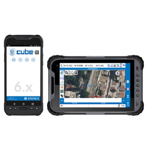
Cube-a is Stonex’s solution for professional surveying and GIS which has been designed and developed for the Android platform. Thanks to the flexibility of the Android environment, we have been able to create a simple and intuitive user interface that makes surveyors ready for any work, saving time and increasing productivity.
Full support for touch gestures and the possibility to install it on Smartphones and Tablets are the keys to the success of Cube-a. It also includes support for many languages and adjusts its interface as from the current system language setting.
Cube-a is a modular application which can be customized as needed: GNSS, Robotic and Classic Total Stations, GIS and 3D Modelling modules can be enabled to fulfill any customer need.
Features
Stonex field solutions for GNSS RTK, GIS and Total Station surveys will make operators’ work quick and easy, ensuring high productivity in all jobs requiring precision and efficiency.
GNSS
Cube-a is compatible with all Stonex GNSS Receivers. Supports Rover, Rover Stop&Go, Base and Static modes. Various screens provide useful information on the status of the GNSS receiver including the position and the signal quality of the Atlas satellite.
SKY PLOT
Various screens provide useful information on the status of GPS, we also developed the possibility in the Sky Plot to read the presence of Atlas. The innovation to show Atlas correction is in order to help and facilitate the work of surveyors so that, when this correction is needed, they can know if the satellite is seen and in what position.
Catalogs
No catalogs are available for this product.
See all of STONEX Srl‘s catalogs*Prices are pre-tax. They exclude delivery charges and customs duties and do not include additional charges for installation or activation options. Prices are indicative only and may vary by country, with changes to the cost of raw materials and exchange rates.
