- Farm Management
- Precision agriculture
- GPS control system
- SunNav Technology Co.,Ltd
Field grading control system AG2000 GPStouch screendigital
Add to favorites
Compare this product
Characteristics
- Application
- for field grading
- Network
- GPS
- Other characteristic
- digital, touch screen
Description
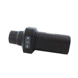
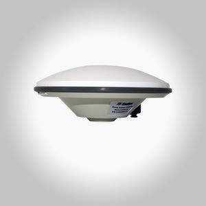
The AG2000 system is a high-precision and high-performance GNSS Land Leveling system,independently developed by SunNav.Widely used in precision agriculture for wasteland restoration,land remediation and leveling, slope land conversion, paddy field leveling,dry land leveling and other large areas land leveling. It can also be used for water conservancy,airport construction and large-scale stadium construction.
1.10.1-inch high-resolution display screen, Real time display of height difference and equipment status information
2.Support high-precision centimeter-level positioning and orientation
3.Support leveling slopes and horizontal planes, simple operation, site operation will not be affected by sandstorms, blowing sand, heavy fog, strong wind and other weather, high operation accuracy, 24 hours operation can be realized
4.Vehicle regulation level can ensure normal operation in harsh environments, IP65 protection level
5.Land surveying function
6.Support CORS system (Ntrip CORS network)
7.Adjustable control accuracy, Adjustable solenoid valve response sensitivity
8.Support 100M Ethernet, 4G full Netcom, WIFI, Bluetooth communication interface
9.Adjustable radio frequency/protocol/airspeed, frequency range 410MHz-470MHz, Avoid radio signal interference, compatible with all base station
10.Support remote online upgrade of the system
11.2 cameras, support monitor in all directions without dead ends
12.AB line guidance navigation, support all kinds of operations such as planting, spreading, fertilizing, and ridging
13.Support 250K/500K CAN bus (J1939, CAN Open)
14.12V voltage power input, support ignition detection
Catalogs
No catalogs are available for this product.
See all of SunNav Technology Co.,Ltd‘s catalogsRelated Searches
- Digital control unit
- GNSS receiver
- Guidance system
- RTK receiver
- Touch screen control system
- Automated guidance system
- Farm machinery antenna
- GPS guidance system
- Agriculture machine guidance system
- Tractor guidance system
- GNSS guidance system
- Crop sprayer guidance system
- GPS control system
- GLONASS antenna
- GPS antenna
- Combine harvester guidance system
- Tractor antenna
- GLONASS guidance system
*Prices are pre-tax. They exclude delivery charges and customs duties and do not include additional charges for installation or activation options. Prices are indicative only and may vary by country, with changes to the cost of raw materials and exchange rates.


